Here to help: Geographic information systems
Some people love poring over a good map. And these days, more and more researchers love using maps to make sense of information tied to physical locations.
Geographic information systems (GIS) specialists Méch Frazier and Kelsey Rydland help everyone from undergraduates to senior faculty use the software-based research tool for all kinds of datasets. Rydland, head of the digital scholarship and research data management team, and Frazier perform hundreds of consultations each year, making them some of the most in demand specialists in the Libraries.
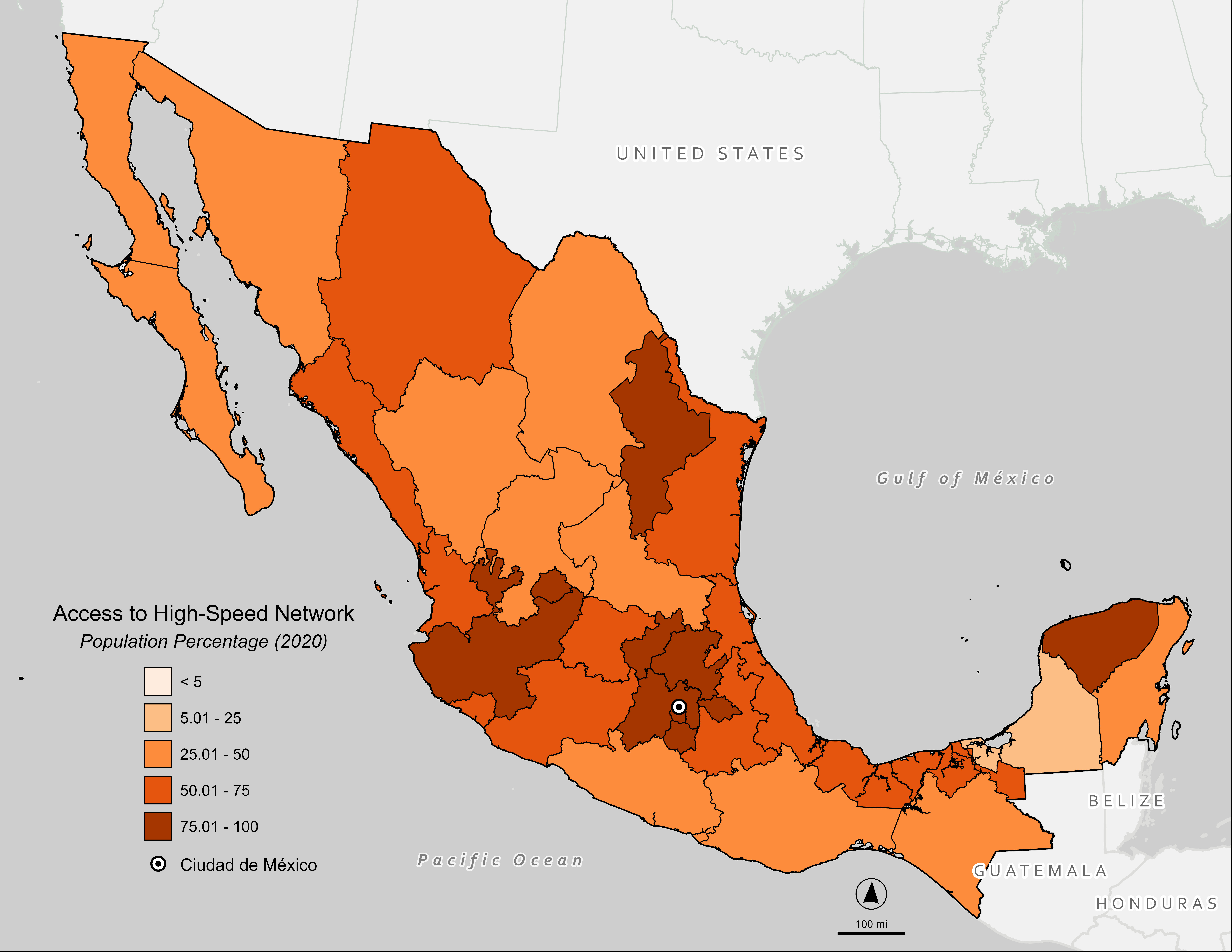
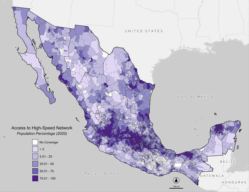
GIS is a quantitative way to study space—a statistical method that captures, updates, and displays data related to the earth’s surface. This means that any mapping, spatial overlay, or even satellite imagery analysis is well within the GIS wheelhouse. Imagine a map that tracks soil test results across a city, or an interactive map that shows a state’s population density year over year.
In practice, the work involves much crosscutting, from plotting events across a city for an investigative journalism piece to processing satellite imagery for an environmental analysis. Frazier recalls working with a Feinberg School of Medicine faculty member in pediatric emergency services. The two analyzed the history of redlining in Chicago, mapping patterns that show how discriminatory lending practices affected Black women’s home financing and had associated consequences on their families.
“We related financial outputs, like home rentals or purchases, to how those influenced child mortality with those same women when they became mothers,” Frazier said. “It was a way of combining this historical piece of data with a modern piece of data and how they affected health outcomes for children.”

In another example, Rydland helped a researcher use GIS to analyze whether language barriers in neighborhoods with many non-native English speakers had an effect on vaccination rates. The software allowed researchers to identify the most effective places to deploy speakers of certain languages to help disseminate vital health information door-to-door.
Visualizing spatial correlations is at the crux of GIS work, but that doesn’t mean the result is always a static map. Over time, Rydland and Frazier have evolved the way they apply GIS solutions to get increasingly sophisticated results. GIS can be combined with machine learning to, for example, process satellite imagery. Machine learning can take many different forms, but for GIS it involves pattern recognition. Providing the software with images of a certain area over time can train it to detect anomalies, such as discovering illegal mining operations, shifts in settlements, or logging activity.
And it’s not about reinventing the wheel every time; once a model has been created, it can be reused and repurposed to show new data and glean new conclusions. This cost-effective approach helps the GIS team manage more projects and assist more people, since both human and computing power are limiting factors in what can be accomplished with GIS at Northwestern—return customers and good word of mouth have the Libraries’ GIS service in high demand.
Frazier and Rydland’s work with University faculty members who run their own research labs leads to a trickle effect of referrals. Because the Northwestern team is really good at their jobs, Frazier said, those faculty praise GIS services to researchers at other institutions. Frazier and Rydland are excited to see the new ways and fields in which GIS can be applied, from environmental science and biology to anthropology.
Computers with GIS software can be found across campus, but there’s nothing quite like a first-hand consultation with an expert to get the most out of the tool, which accounts for the steady stream of patrons. For Rydland, nothing is more rewarding than working hands-on with the students, especially when there’s so much potential for GIS to be applied to any project.
“We’re biased, but I think there’s a spatial component to just about anything,” he said. “Sometimes, if it’s a big project, we may get a little nervous, but this staff is willing to go for it.”

